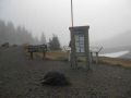
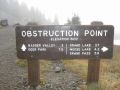
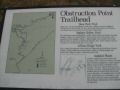
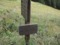
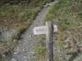
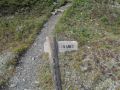
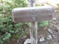
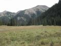
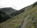
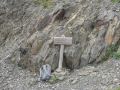
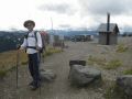
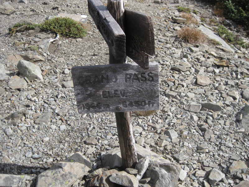
What a day hike in a high country ! The elevation along the trail varied from 4950 ft to 6500 ft (which makes the area as a high contry)! The Grand Pass is located at the Northern interior of the Olympic National Park. The trailhead was at the Obstruction Point (Pt). The Obstruction Pt is located at 7.6 miles (unpaved road) South from the Hurricane Ridge Visitor Center. One experienced hiker mentioned to me that there are 3 locations where one can drive up to the Alpine Level in the Olympic National Park: Obstruction pt, Hurricane Ridge Visitor Center, and the Deer Park. The Alpine level refers to the high mountain area (above treeline), usually higher than 4500-5000 ft in elevation. Two weeks ago, I tremendously enjoyed day-hiking the High Divide Loop (NW of the Olympic National Park) and, before the rainy season starts, I wanted to hike one trail at Hurricane Ridge Area which is about 20 miles East of the High Divide Loop area. So, we chose the Grand Pass. This hiking was unique since it started off at the alpine level (high country), traverse downs and ups, and loop back to the alpine level.

Hiking Summary:
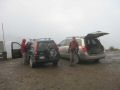
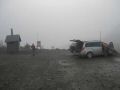
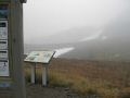
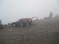
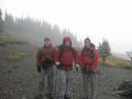
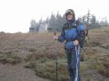
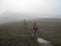
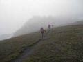
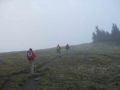
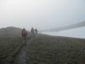
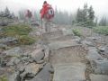
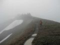
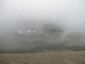
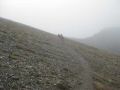
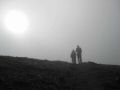
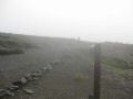
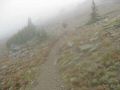
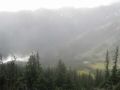
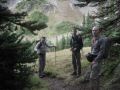
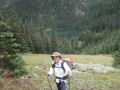
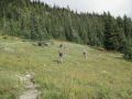
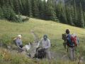
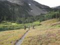
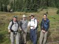
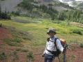
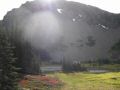
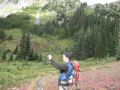
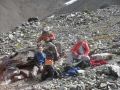
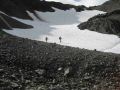
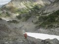
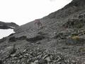
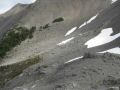
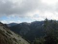
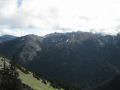
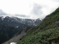
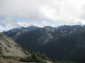
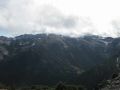
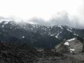
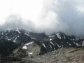
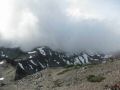
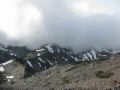
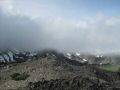
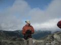
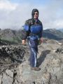
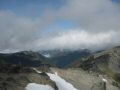
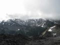
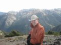
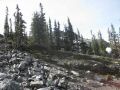
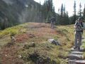
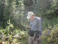
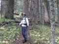
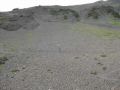
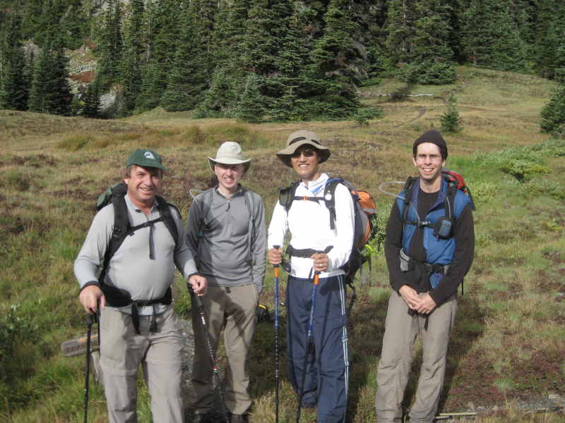
13+ miles with 4600 elevation gain. Temp 45-55F. Wind chill factor made hands freezing at the trailhead. It rained a bunch the night before, and forecasted to rain until 1100 but, luckily, it did not rain on us. It drizzled with a gale force wind for a short time period. Always check the Olympics Mountain weather at http://www.wrh.noaa.gov/sew/olympics.php. Indeed, the area was a rain shadow zone (Robert Wood's book, page 108, 3rd edition). The first 1.5 miles was almost barren and dry (maybe no rain overnight !). Aaron, Andy, and I were determined to hike this trail. At the last minute, Doug Savage joined the hike. He is a legend in Olympic trails with close to 40 years of experience and hiked/backpacked almost all the trails! It is always thrill to hike with him, and fun to chat and listen to his stories. We started hiking 0820 in a thick fog with chilly wind. Open ridge trail, open valley views, and non-stop views were simply awesome and provided good energy. Turned around the Grand Pass at 1155. Arrived back at the trailhead at 1520.
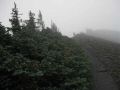
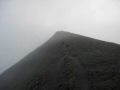
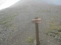
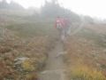
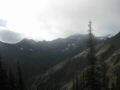
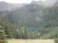
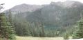
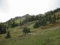
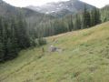
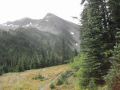
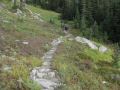
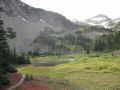
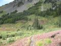
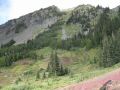
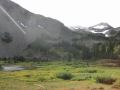
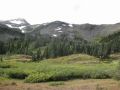
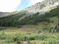
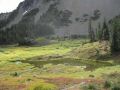
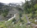
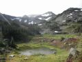
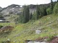
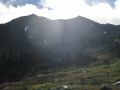
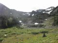
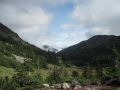
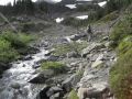
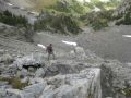
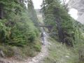
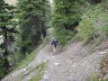
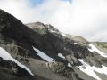
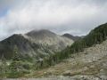
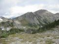
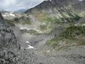
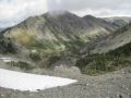
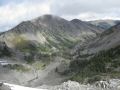
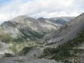
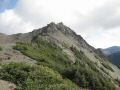
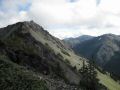
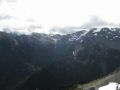
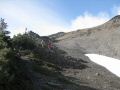
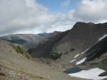
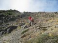
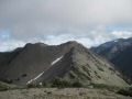
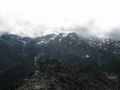
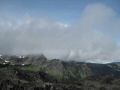
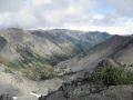
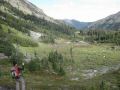
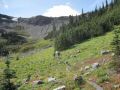
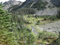
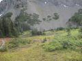
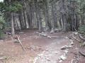
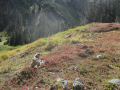
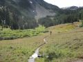
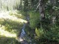
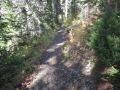
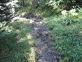
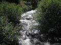
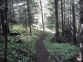
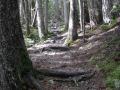
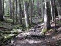
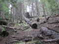
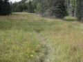
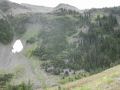
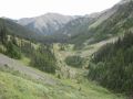
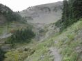
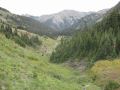
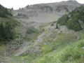
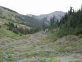
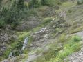
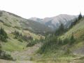
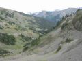
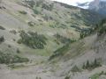
On the way to the Grand Pass along the Lillian Ridge, we took a few short breaks for a snack and continued marching on to the Grand Pass. This trail was probably one of best scenarios with non-stop open views (open ridge and open valley) and I would like to come back this trail any time. Last 1.4 miles to the Grand Pass (1200 ft elev gain) was strenuous with rock and shale trails. We then hiked up to the Grand View Peak where it offered 360 degree views of the interior of the Olympic National Park. Simply, spectacular views from a summit! Sleet was sprinkling at the peak! Aaron and Doug traversed back to the trailhead due to Aaron's knee issue. Hope that he recovers the soonest. Andy and I took the Badger Valley trail, also cut our hiking itinerary short to rejoin Aaron and Doug at the trailhead (we did not go up to the Deer Park trail). About the Badger Valley, the name Badger was most likely from ranger's horse name per Robert Wood's book (page 109, 3rd edition). Compare to the Lillian Ridge route, not much of scenery hiking along the Badger Valley other than some old growth trees, streams, and Alpine meadows (lots of grasshoppers). No doubt that there were quite steep switchbacks since we hiked down to the creek below the Grand Lake losing 700 ft elevation and needed to gain back 700 ft to the trailhead (Obstruction Pt) compared to the Lillian Ridge trail. Traversing back to the same trail (Lillian Ridge) would be nice with non-stop open views (but no water refill), however, Badger valley route along the old growth might be a good choice when it's hot and sunny with a couple of nice creeks to soothe the mind and refill the water.
This was another good day hiking for excellent exercise and expensive views of the northern interior of the Olympic National Park. Definitely, on my list to hike again.
Highlights for this hiking:
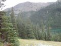
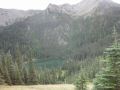
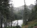
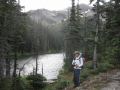
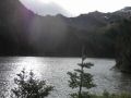
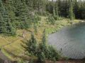
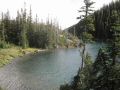
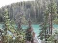
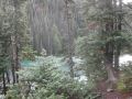
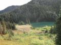
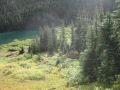
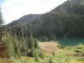
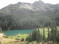
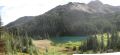
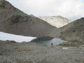
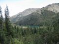
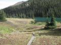
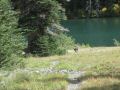
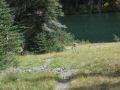
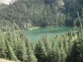
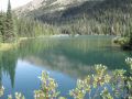
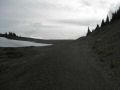
1. The lakes (Grand Lake, Moose Lake, and Gladys Lake) - Satisfactory.
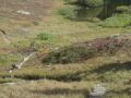
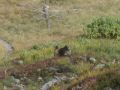
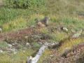
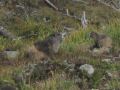
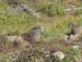
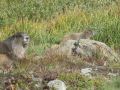
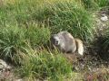
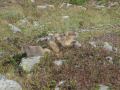
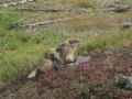
2. Marmot filled Meadows - Satisfactory.
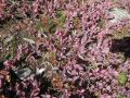
3. Blueberries and/or Huckleberries - Very few or none.
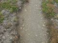
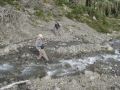
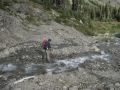
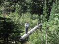
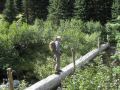
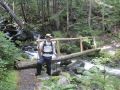
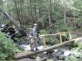
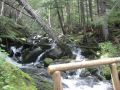
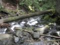
4. Creek Crossing - A few of them - Satisfactory.
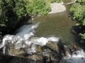
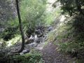
5. Waterfall - a couple of small ones - Satisfactory.
6. Wildlife (Bear) - No bear sighting.
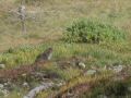
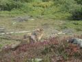
7. Wildlife (Deer) - 2 Deer close to Grand Lake - Satisfactory.
8. Wildlife (Marmot) - Several - Satisfactory.
9. Wildlife (Hawk) - one - Satisfactory.